Mahoning SWCD Encourages Residents to Discover Their Sub-Watershed
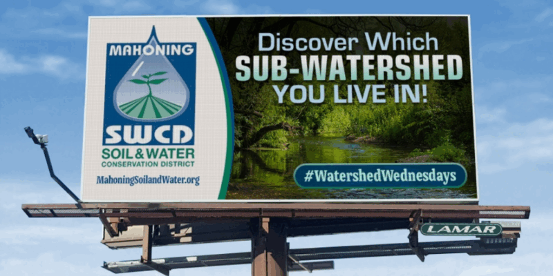
Mahoning County, OH – The Mahoning Soil & Water Conservation District (SWCD) is inviting residents to take a closer look at their connection to local waterways. A new billboard campaign across Mahoning County encourages people to “Discover which sub-watershed you live in!”
A watershed is the land area where precipitation drains into a common waterway. Within Mahoning County, smaller sub-watersheds—such as the Mahoning River Watershed—form part of the larger Ohio River Watershed system. That means storm drains, streams, and rivers in our own backyards are directly connected to one of the most important river systems in the country.
“Understanding your sub-watershed helps you see how your daily actions affect water quality locally and downstream,” Mahoning SWCD Executive Director Kathleen Vrable-Bryan said while discussing the initiative. “From preventing litter to managing stormwater, what we do here in Mahoning County has an impact all the way to the Ohio and Mississippi Rivers.”
The Ohio River Watershed spans 15 states and provides drinking water for more than five million people. Locally, Mahoning County residents play a role in protecting not just their own communities, but countless others downstream.
Residents can discover their watershed by entering their ZIP code at the U.S. Environmental Protection Agency’s interactive tool, How’s My Waterway.
Mahoning SWCD reminds residents: We all live downstream—let’s protect it together.