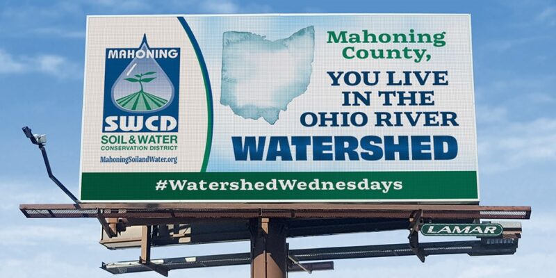
Mahoning County’s Connection to the Ohio River
Mahoning County, OH – If you live, work, or travel through Mahoning County, you are part of the Ohio River Watershed. That means every drop of rain or snowmelt that falls on our land eventually makes its way to the Ohio River through a vast network of streams, storm drains, and rivers—including the Mahoning River and its tributaries.
What is a watershed?
A watershed is simply the land area where all precipitation drains to a common body of water. Here in Mahoning County, even the smallest puddle or roadside ditch is connected to larger waterways, ultimately flowing into the Ohio River.
A massive system with local connections
The Ohio River is 981 miles long, draining an area of more than 203,000 square miles across 15 states—from Pennsylvania to Illinois, and as far south as Alabama and Georgia. The river begins at the confluence of the Allegheny and Monongahela Rivers in Pittsburgh, Pennsylvania, and winds its way southwest until joining the Mississippi River at Cairo, Illinois.
This watershed is home to more than 25 million people—nearly 10% of the U.S. population. The Ohio River itself provides drinking water for over five million people.
Why Mahoning County matters
Our everyday actions in Mahoning County have a direct impact on water quality far beyond our borders. Stormwater runoff, agricultural practices, and even littering all affect the health of local streams and rivers. By the same token, positive actions—such as conservation practices, wetland protection, and proper stormwater management—help improve water quality and protect wildlife and communities downstream.
Find your watershed
Curious which sub-watershed you live in? Drop your ZIP code in the comments, or explore your local waterways at EPA’s “How’s My Waterway” tool.
We all live downstream—let’s protect it together.